Daily Photo – First Light in the Mountains

Not more than ten minutes after leaving Queenstown, I pulled into a makeshift car park that offered uninterrupted views of Lake Wakatipu in every direction. I looked back towards the village, basking in delicious, bright sunshine as a gentle breeze drifted across the water. Then I turned the other way, up the lake, where that same breeze had grown into a decent gale, dragging behind it a dark, moody weather system that seemed to be heading for exactly the same place I was: Glenorchy.
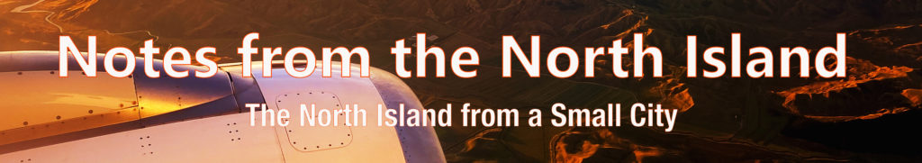
The road to Glenorchy follows the eastern edge of Lake Wakatipu for 46 kilometres (28 miles). Two or three times I pulled into laybys and lookouts, wandering to the edge and standing hopefully in the murky gloom, knowing there was a lake out there and feeling fairly certain I might be blown into it at any moment. Before setting out, I had hoped for clear views across to Pigeon and Pig Islands, perhaps even a glimpse of the peaks of Sugar Loaf, Mount Nox, Mount Chaos, and the valleys of the Routeburn and Beans Burn. Instead, I watched them disappear beneath a heavy squall of inhospitable weather.
The wind and rain came from every direction. It felt impossible to find a spot that was both sheltered and safely away from the roadside as campervans, tour buses, and rental cars hurried along, their drivers looking decidedly unimpressed. At some point earlier, I had bought an overpriced coffee from one of those roadside caravans, so I sat in my car, sipping it slowly and waiting for a break in the weather. The mountains loomed quietly in the background while storm clouds continued to roll in. I had really been looking forward to this drive. Sitting there, listening to the wind whip across the lake, only added to the sense of drama. For the life of me, I couldn’t decide whether I was pleased to be heading into it or not.
I arrived in Glenorchy and parked outside the information centre. I had hoped to rummage through brochures and maps, but I was later than expected and, to my annoyance, it was already closed. Instead, I wandered the nearby streets, looking for nothing in particular.
After a while, I made my way down to the lake, perhaps 400 metres away, and out along the wharf that stretched over the water. The place was quieter than I had expected and, apart from the occasional campervan passing by, I had it mostly to myself. I strolled to the end of the pier and stood looking out across the lake. The cold front had passed, leaving behind a moody, atmospheric stillness as the daylight faded. It was all rather lovely in a murky, gloomy sort of way.
Feeling content, I turned back towards my car when it suddenly dawned on me that I hadn’t actually found anywhere to stay. On my walk down, I remembered seeing a lodge with a large ‘Vacancies’ sign out front. I headed there, quietly hoping for a bar, a decent meal, and a room for a few nights.
The next morning, I woke early and slipped out as dawn began to break over the lake and surrounding mountains. By the time I reached the pier, heavy clouds were already starting to lift, and sunlight crept across the high hills above the water. If there’s one thing guaranteed to make you feel insignificant, it’s watching the earth wake up beside a lake, encircled by mountains, with no one else around.
Later, back at the lodge, I made a plan for the day over breakfast. By the time other guests began emerging and eyeing up the buffet, I was already heading out the door towards the Glenorchy Boardwalk.
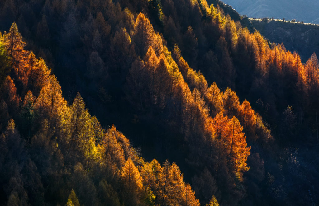
For the uninitiated, the boardwalk is a genuinely picturesque place. It stretches out over wetlands, with stopping points that open onto lagoons framed by trees, all looking towards Mount Earnslaw, Mount Alfred, and the surrounding ranges. It really is a glorious spot.
For the first half hour or so, I had the place entirely to myself and had almost forgotten it was a public reserve. You can imagine my surprise, then, when I came across a family enjoying one of the conveniently placed benches. For a brief moment, I felt mildly annoyed at having to share it. Then it struck me that, in that short time, I had somehow come to think of the place as mine alone.
I spent the rest of the day wandering tracks, following paths, staring at distant peaks, and skimming stones across the lake. That evening, I ate a hearty meal, washed it down with a couple of pints, and collapsed into bed. It had been a good day.
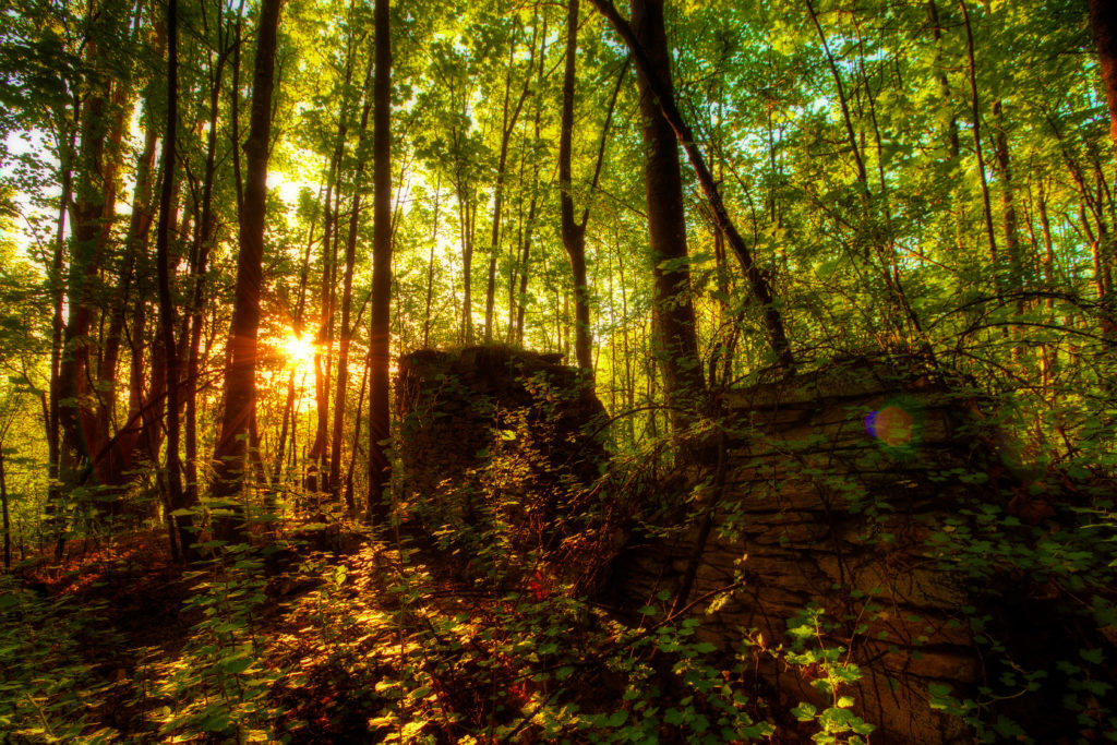
The following morning dawned bright and clear, and I set off northwest towards the start of the Routeburn Track. Set within Mount Aspiring National Park and established as a formal tramping track in 1964, I had no intention of walking the entire route, but I was keen to wander along it for a while and see what it had to offer.
At 33 kilometres (20.5 miles), the Routeburn Track is relatively modest by international standards. What it lacks in length, however, it more than makes up for in scenery. Dramatic landscapes, lush forest, sweeping valleys, and towering peaks combine to create something quietly overwhelming. It draws you in and wraps you in a kind of stillness that is hard to describe. I wandered for a few hours, lost somewhere between awe and contentment, before eventually turning back and finding myself once again at the car park by mid-afternoon.
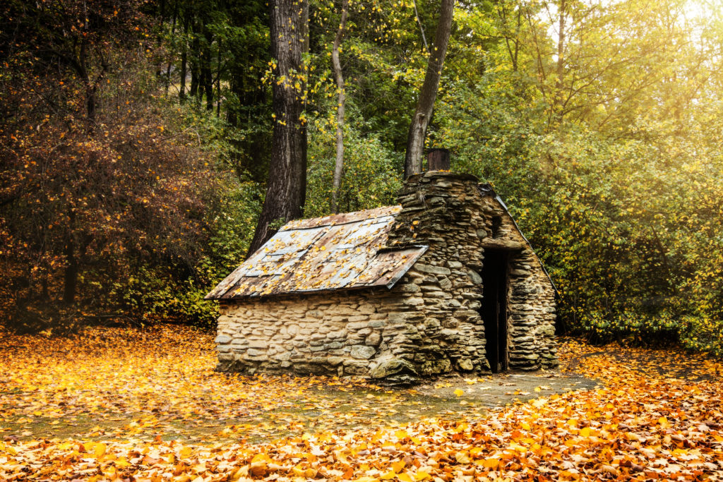
The following day, I headed towards a valley not connected to the Routeburn Track, yet separated from it by an entire mountain range. The road took me past old fence lines and farm gates that looked as though they hadn’t been opened in years. Beyond them, sheep grazed quietly across wide flats, ringed by dark hills and snow-dusted peaks. A soft wind moved through the grass under an afternoon sun that filled the valley with a quiet kind of warmth.
At the head of Lake Wakatipu, I crossed the Rees River and passed through a place called Earnslaw, continuing on towards Paradise and, later, the Dart River. Along the way, I stopped at Diamond Lake, a small camping and walking area.
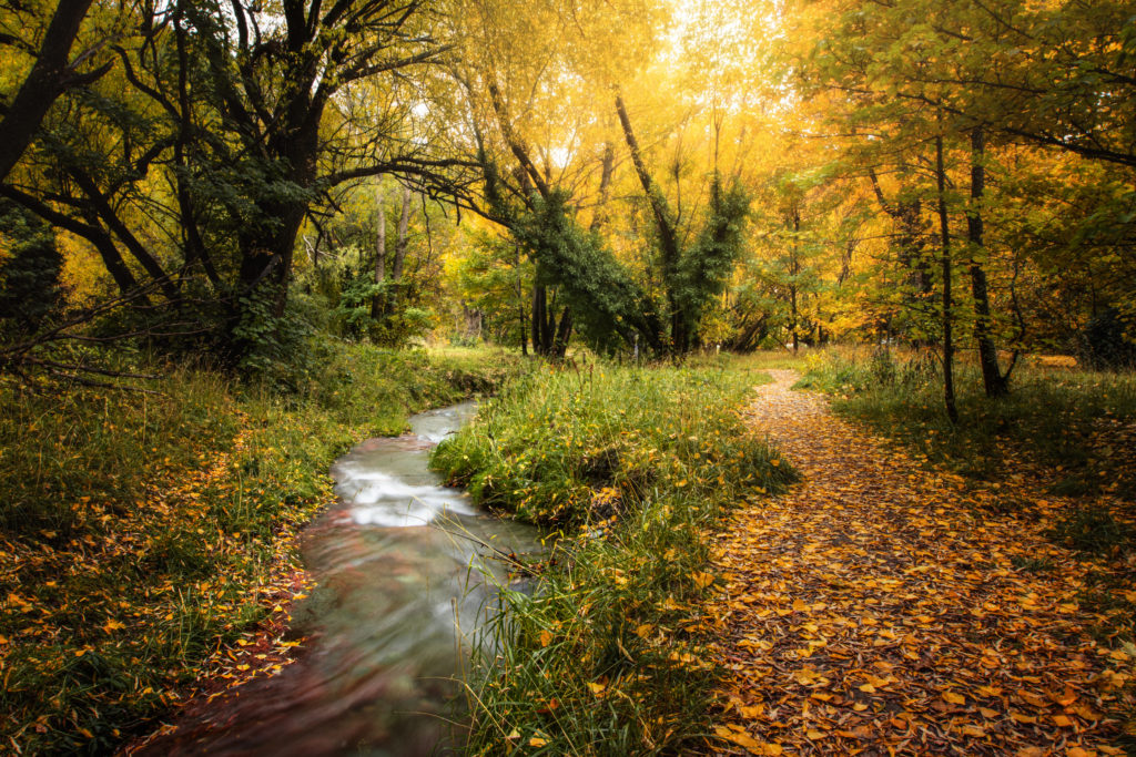
The air there was perfectly still, the lake acting as a mirror for Mount Alfred and the surrounding beech forest. I spent an hour tracing the shoreline, the silence broken only by birdsong and the soft crunch of glacial silt beneath my feet. I walked, stopped, looked, and walked some more, eventually completing a loose loop and finding my way back to the car.
With the sun beginning its slow descent behind the mountains, I turned back towards Glenorchy. The gravel crunched beneath the tyres as the light shifted from warm gold to a deep, bruised purple across the skyline.
Back at the lodge, I settled into a worn armchair and, with the Southern Alps stretched out beyond the window, lost myself in a book until the light faded and the words blurred into the landscape.
Later, I wandered across to the local pub, found a corner table, ordered a hearty meal and a pint or two, and listened to the low hum of locals trading stories. I was entirely happy, and completely content.
On my final morning, I dragged myself up to meet the early alarm and returned once more to the Glenorchy pier as the sun rose. Again, I had the place to myself. As the first light touched the mountains, I found myself reflecting on the isolation of it all. This is a place where the mountains do not simply sit on the horizon. They loom, like ancient guardians, indifferent to your presence yet somehow welcoming all the same.
I took one last look at the red Glenorchy shed, its weathered timber frame standing firm against the turquoise water. The road back to Queenstown would be the same 46 kilometres I had travelled only days earlier, yet I knew it would feel entirely different. That is the way of the South Island. The light shifts, the clouds rearrange themselves, and a landscape you thought you knew quietly becomes something else entirely.